Moving east from Sisteron or Gap the first peaks of the Alps above 3000 meters appear around the principal town of Barcelonnette in the Ubaye valley. Even in summer time, you rarely walk on the main streets of Barcelonnette without being able to see snowcapped mountains. "A more ideal spot for doing nothing would be hard to find" says the Rough Guide.
The huge Parc National du Mercantour has it's north-western border just south of the town. But possibilities for hikers are enormous in all directions from town, not least going north-east, where the Italian border is only 35 minutes away at Col de Larche.
The other 3 main mountain routes out of Barcelonnette are the Col d'Allos going into the Haut-Verdon valley, the Col de la Cayolle into the Haut-Var valley and the road passing the summit of La Bonette to the Tinee valley.
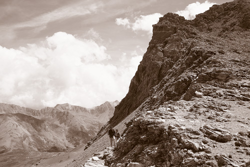
The mountains in these parts are impressive in it's magnitude and dramatic forms. The large bare surfaces often with large sandy patches, often give the impression of something battered and washed out. The small rivers and creeks give life to the landscape, however, and it can be difficult to escape the odd sheep hurdl on the way up or down the mountain.